 Bắc Ninh

Storm Mitag to hit China Friday, set to bring heavy rains to northern Vietnam
Storm Mitag is forecast to make landfall in southern Guangdong, China, on Friday evening with sustained winds of 62–88 kph, before bringing widespread rain and thunderstorms to northern Vietnam next week.
At 7 a.m. Friday, Mitag lay centered 200 km from Hong Kong with maximum winds of 88 kph, moving northwest at 15 kph, according to Vietnam’s National Center for Hydro-Meteorological Forecasting.
 |
|
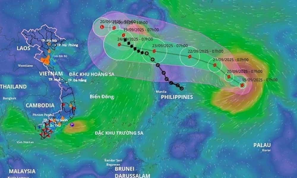
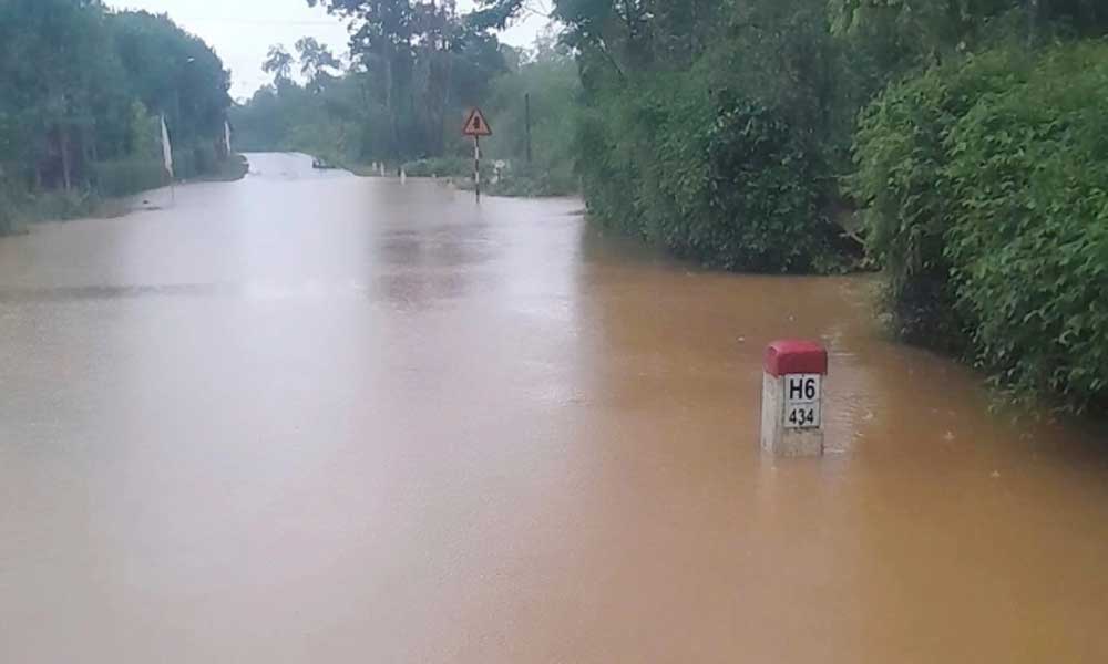
An illustration of the anticipated trajectories of storms Mitag and Ragasa, Sept. 19, 2025. |
By 7 p.m., it is expected to strike Guangdong, before weakening into a tropical depression and then a low-pressure system. Japan and Hong Kong meteorologists share the view that Mitag will lose strength quickly after landfall.
Vietnamese forecasters caution, however, that the weakened circulation could drift southward and trigger heavy rainfall across northern provinces on Sept. 23 and 24.
The northern South China Sea, which Vietnam calls the East Sea, will also face gale-force winds of 39–88 kph, gusts near 110 kph, and waves up to 5 meters high, threatening vessels operating offshore.
At the same time, another system is intensifying near the Philippines. Tropical storm Ragasa, about 1,000 km east of Luzon on Friday, has already reached wind speeds of 62–74 kph and is forecast to intensify rapidly.
By Sunday morning, it could pack winds of 165–184 kph, gusting above 200 kph. The Japan Meteorological Agency and Hong Kong Observatory project Ragasa will enter the South China Sea around Sept. 23 as a "super typhoon" with sustained winds of 184–201 kph. Its exact path and possible impact on Vietnam remain uncertain.
The National Steering Committee for Civil Defense has ordered coastal provinces from Quang Ninh to Dak Lak to closely monitor both storms, prepare emergency response forces and ensure readiness for rescue operations.
So far this year, the South China Sea has recorded eight storms and two tropical depressions. Most recently, Storm Tapah did not directly strike Vietnam but brought heavy rain and landslides to northern mountainous provinces.
Earlier, on Aug. 30, Storm Nongfa slammed into central Vietnam with winds of 62–74 kph, cutting off mountain communities in Ha Tinh, Quang Tri and Nghe An.
Meteorologists warn that from October to December, the South China Sea could see more storms than average, with over four expected in the final quarter, nearly half of which may make landfall.


Reader's comments (0)