 Bắc Ninh

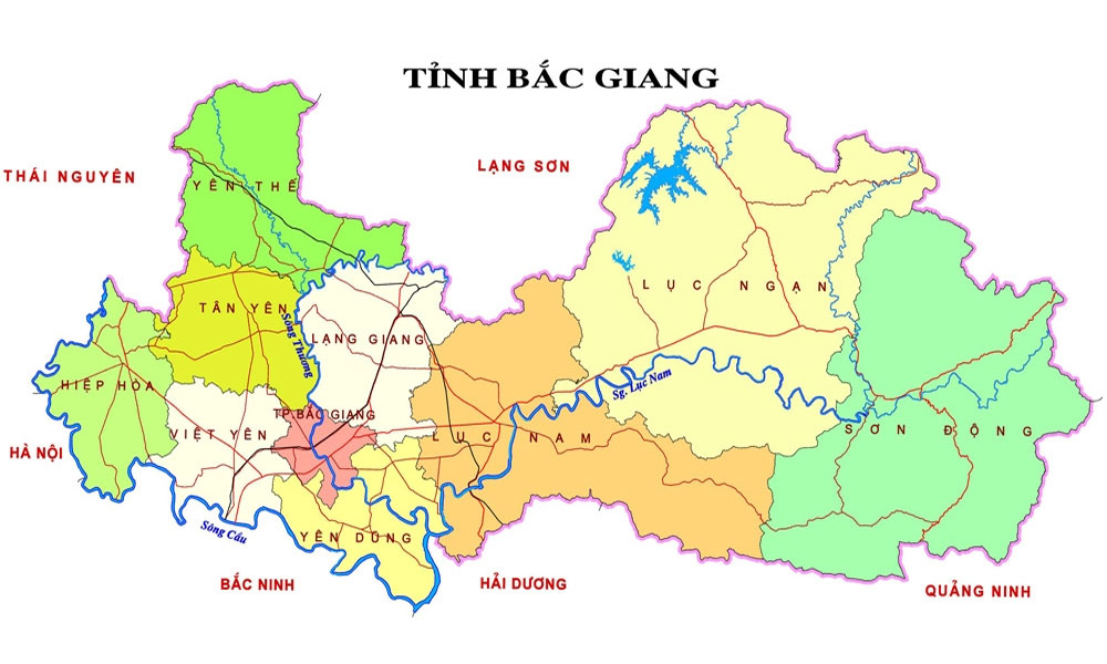
Bac Giang adjusts city general planning
The local adjustment is made to Region No.11 and 12 in Subregion No.2. It borders region No.8, southern urban area of Bac Giang city to the North; urban area No.15 and organization area of the province to the South; residential area of Huong Gian commune, Yen Dung district to the East; residential area of Tan Tien commune, Bac Giang city to the West.
 |
|
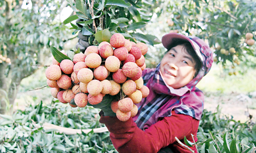
Illustrative image. |
The first location is adjusted to rearrange land using structure in the region boundary with total area of 10.99 hectare by moving the land for school to the area next to adjusted region, adding urban public and integrated lands. After adjustment, the land using structure consists of 6.84 hectares for residence, 1.66 hectares for urban public area; 1.8 hectares for road and integrated land.
The second adjustment is made to rearrange land using structure in the region boundary with total area of 4.74 hectares by increasing urban public area to attract investment to high building hotel, adjusting integrated land to residence to improve the land using effectiveness. The post adjustment land using structure includes 2.82 hectares for residence; 1,62 hectares for road and urban public area.
The adjustment aims to facilitate the implementation of the investment attraction target to build premium urban area as the key and center of the province and city in near future.


Reporter


Reader's comments (0)